About Me
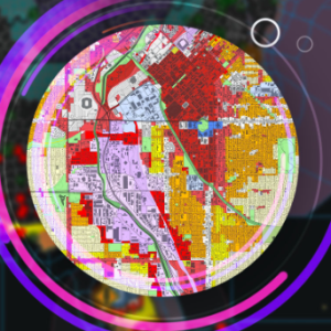
Hi! I am a highly skilled GIS Professional with 15 years of experience in spatial data analysis, land parcel digitization, mapping, and geospatial technology. I’ve worked with clients across Türkiye, UAE, and Africa, handling both small and large scale GIS projects.
I specialize in:
✔ GIS Mapping & Visualization– Creating interactive and static maps using ArcGIS, QGIS.
✔ Spatial Data Analysis– Processing and interpreting geospatial data for urban planning, environmental studies, and logistics.
✔ Dashboard & Reporting Automating reports and dashboards using GIS data.
✔ Data processing Analyzing, visualizing geographic data to extract meaningful information and insights.
✔ Data Capture & Maintenance– Digitization, as built updating, shapefile conversion, land parcel mapping, topology checks and attribute population.
Available for: GIS Consulting, Freelance Mapping, Remote Sensing, Geodatabase Development and Data capture Projects.
Let’s connect!
My Expertise
Explore & Appreciate my Work
Mohammed Salman (NavGeo Services) has not added any portfolio
My Project History & Feedbacks
My Endorsements
Mohammed Salman (NavGeo Services) hasn't been endorsed yet
My Education
Work Experience
Certifications
$30/hr
Total Earnings
$ 0
Projects Completed
0
Services Delivered
0
Buyer worked with
0
Feedbacks
0
Followers
Total Refund
0
Contest Completed
0
Member since
My Articles
No Articles Posted
Top Freelancers by skill & country
Top Freelancers by city
Copyright © 2026 | Truelancer.com

